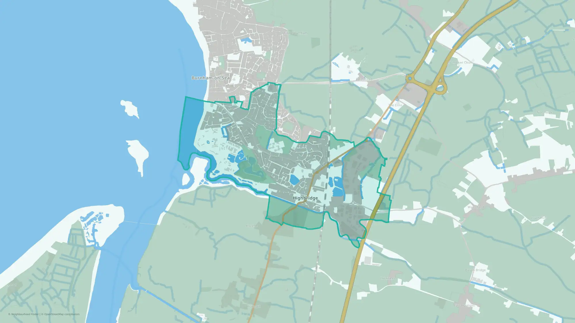
Simple Day-to-Day, Less of a Scene
Highbridge & Burnham South offers convenient transport links and a strong public transport network, with high scores for travel and transport. The area benefits from a low risk of flooding, reflecting a very high Environment score, and good access to public transport options. Residents should note that the neighbourhood has a low score for green space and local life amenities, and a higher than average crime level.
Crime rate in Highbridge & Burnham South
Crime rate
Crime rate
146.1 per 1,000 people
Percentile
8th percentile nationally
Crime levels are higher than most neighbourhoods nationally.
House prices in Highbridge & Burnham South
House prices
Average sold price
£300,417
Percentile
49th percentile nationally
House prices are around the national middle range.
Schools in Highbridge & Burnham South
Flood risk in Highbridge & Burnham South
Transport in Highbridge & Burnham South
Explore more data
Unlock the full neighbourhood report to see:
Green spaceEnvironmentLocal lifeFamilyHealth