Neighbourhoods in Sheffield
Sheffield's averages cover very different places. Across the city, police recorded 111 crimes and anti-social behaviour incidents per 1,000 residents in the 12 months to August 2026, against 94 across England, and a semi-detached house sold for a median of £221,000, against £280,000 nationally.
Inside the city, the median semi-detached price ranges from £151,500 in Shiregreen & Brightside to £465,000 in Fulwood, and recorded crime from about a third of the city rate in the south-west suburbs to well above it in some inner areas. Each report below shows the figures for one area, so you can compare the places you are actually considering.
This page covers the City of Sheffield council area. It includes Stocksbridge and the Upper Don valley and runs west into the Peak District National Park, but not Rotherham, Barnsley or Chesterfield. Reports follow Sheffield's 28 electoral wards; the large Stannington and West Ecclesfield wards are split into more than one report.
Sheffield at a glance
- Neighbourhoods
- 31
- Each has its own report.
- Typical area median sale price
- £204,375
- Half of the 30 areas with enough sales are at or below this.
- Price range across areas
- £127,500 to £481,760
- From City to Dore & Totley.
- Crime per 1,000 residents
- 32.7 to 328.7
- From Fulwood to City. The middle area records 95.9.
- Crime by type for each area
Six places to start
These are starting points with different strengths, not a ranking. Our family guide compares 17 areas in more detail.
Fulwood
- Crime and ASB: 32.7 per 1,000
- Semi-detached median: £465,000
The lowest recorded crime of any Sheffield area, at about twice the city's price for a semi-detached house.
Read the Fulwood reportCrookes & Crosspool
- Crime and ASB: 42.2 per 1,000
- Terraced median: £260,000
Low recorded crime in the west of the city, where terraced houses are the most common sale and the cheaper way in.
Read the Crookes & Crosspool reportStannington South West
- Crime and ASB: 54.8 per 1,000
- Semi-detached median: £280,000
Half the city's crime rate, with semi-detached houses at about England's median price.
Read the Stannington South West reportEast Ecclesfield
- Crime and ASB: 78.1 per 1,000
- Semi-detached median: £222,000
- Chapeltown station
A semi-detached house at close to the Sheffield median, crime well below the city rate and a railway station inside the area.
Read the East Ecclesfield reportGraves Park
- Crime and ASB: 79.8 per 1,000
- Semi-detached median: £284,000
- Two state secondary schools
Named after the large park inside it, with two state secondary schools within its boundary.
Read the Graves Park reportMosborough
- Crime and ASB: 91.5 per 1,000
- Semi-detached median: £220,000
- Five tram stops
On the Supertram line in the south-east, with semis at around the city median and crime a little below the Sheffield rate.
Read the Mosborough reportCompare neighbourhoods in Sheffield
Select a column heading to sort. Areas without a figure are listed last. Scroll the table sideways to see every column.
| Beauchief & Greenhill | £273,000 | 105.6 | 36th | 63rd |
|---|---|---|---|---|
| Beighton | £198,515 | 103 | 26th | 48th |
| Birley | £185,000 | 89.1 | 20th | 50th |
| Broomhill & Sharrow Vale | £281,011 | 112.5 | 27th | 66th |
| Burngreave | £130,000 | 184.1 | 77th | 69th |
| City | £127,500 | 328.7 | 29th | 97th |
| Crookes & Crosspool | £280,000 | 42.2 | 27th | 36th |
| Darnall | £144,000 | 187.9 | 32nd | 77th |
| Dore & Totley | £481,760 | 41.1 | 52nd | 51st |
| East Ecclesfield | £210,000 | 78.1 | 43rd | 73rd |
| Ecclesall | £381,250 | 39.1 | 37th | 54th |
| Firth Park | £155,000 | 131.1 | 34th | 63rd |
| Fulwood | £395,000 | 32.7 | 51st | 33rd |
| Gleadless Valley | £192,000 | 109.3 | 13th | 68th |
| Graves Park | £260,000 | 79.8 | 46th | 47th |
| Hillsborough | £212,000 | 102.7 | 35th | 53rd |
| Manor Castle | £180,000 | 152.9 | 41st | 89th |
| Mosborough | £225,500 | 91.5 | 57th | 45th |
| Nether Edge & Sharrow | £235,500 | 102.3 | 43rd | 74th |
| Park & Arbourthorne | £159,500 | 149.5 | 32nd | 79th |
| Richmond | £190,000 | 95.9 | 19th | 59th |
| Shiregreen & Brightside | £145,000 | 115 | 65th | 71st |
| Southey | £170,000 | 143 | 56th | 60th |
| Stannington North | No data | 39.1 | 3rd | 29th |
| Stannington North East | £196,750 | 72.2 | 12th | 38th |
| Stannington South West | £280,000 | 54.8 | 64th | 47th |
| Stocksbridge & Upper Don | £202,500 | 65.3 | 56th | 37th |
| Walkley | £230,000 | 87.7 | 32nd | 79th |
| West Ecclesfield North | £206,250 | 66.8 | 53rd | 62nd |
| West Ecclesfield South | £310,000 | 42 | 28th | 26th |
| Woodhouse | £187,500 | 113.6 | 44th | 74th |
Median sale prices are for standard HM Land Registry sales in the 12 months to August 2026, shown where an area had at least 10 sales.
Crime is recorded crime and anti-social behaviour in the 12 months to August 2026, per 1,000 residents; busy centres can show high rates because crimes are counted where they happen.
Schools and transport are national percentiles: higher means stronger school results or transport access than more neighbourhoods nationally.
Guides to Sheffield
- Best areas to live in Sheffield for families (2026)
- Sheffield or Leeds for a family move?
- Average house prices in Sheffield
- The Cheapest and Most Expensive Cities to Buy a Home in England and Wales (2026)
- Safest Areas in Yorkshire and the Humber 2026: Where Recorded Crime Is Lowest
- First Time Buyers vs Movers Best Family Areas Compared 2026
All neighbourhoods in Sheffield
Listed alphabetically.
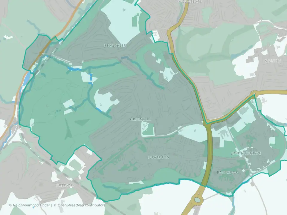
Beauchief & Greenhill
Sheffield
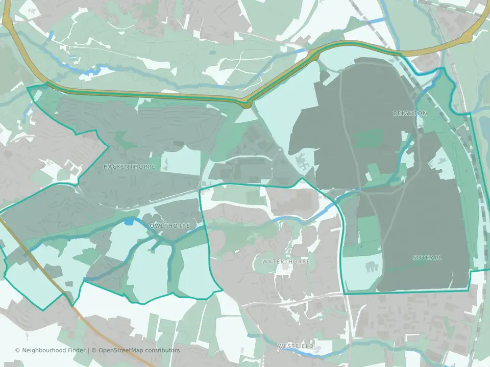
Beighton
Sheffield
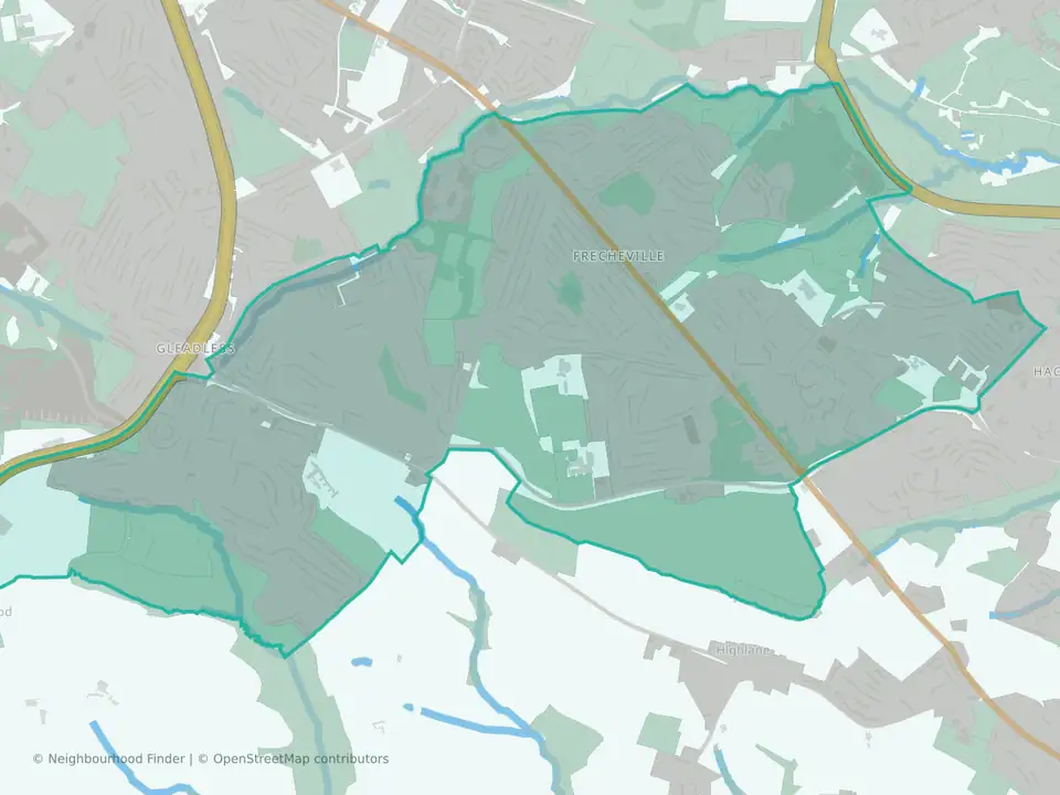
Birley
Sheffield
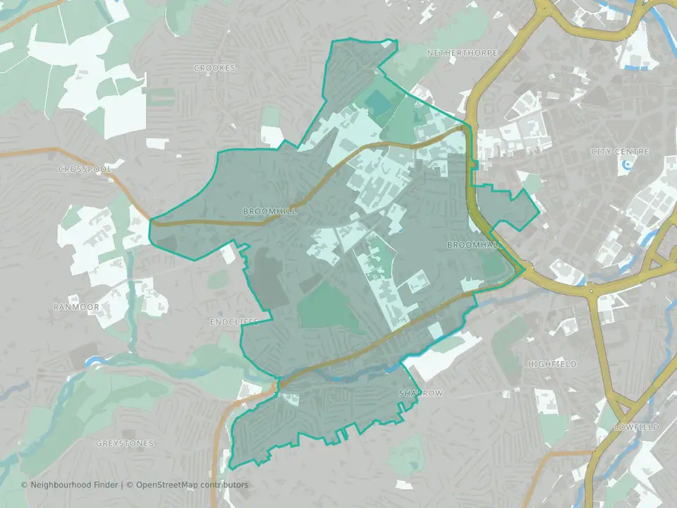
Broomhill & Sharrow Vale
Sheffield
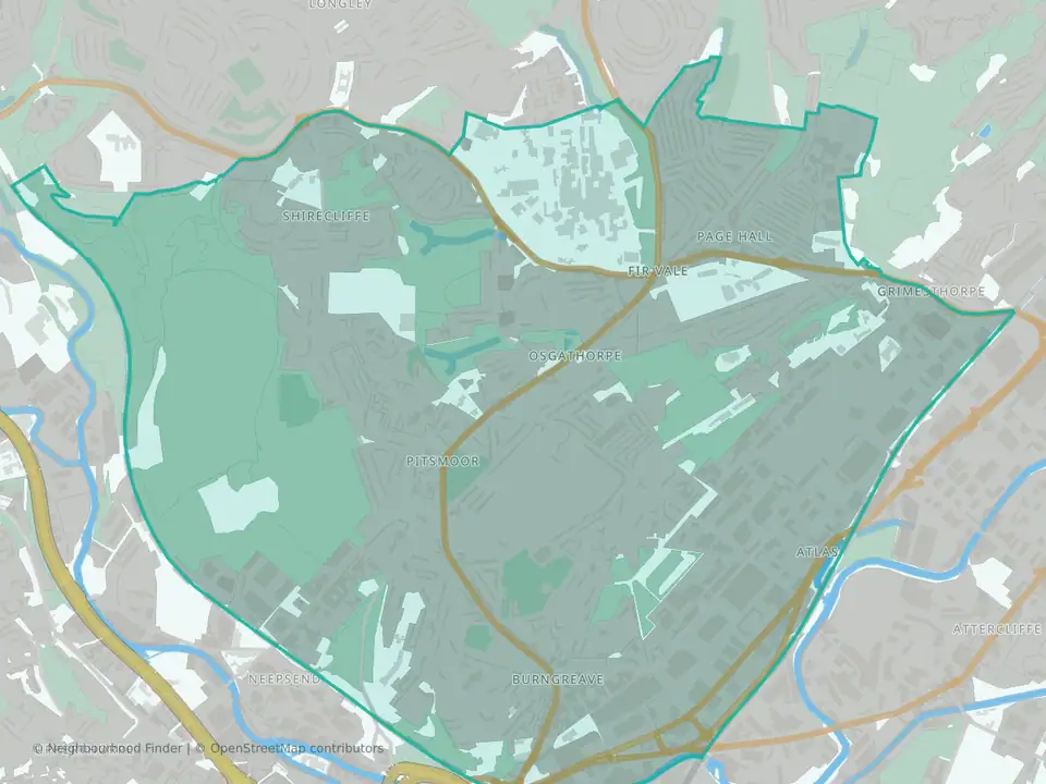
Burngreave
Sheffield
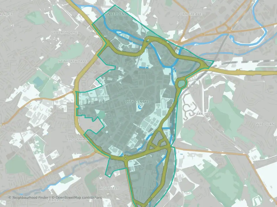
City
Sheffield
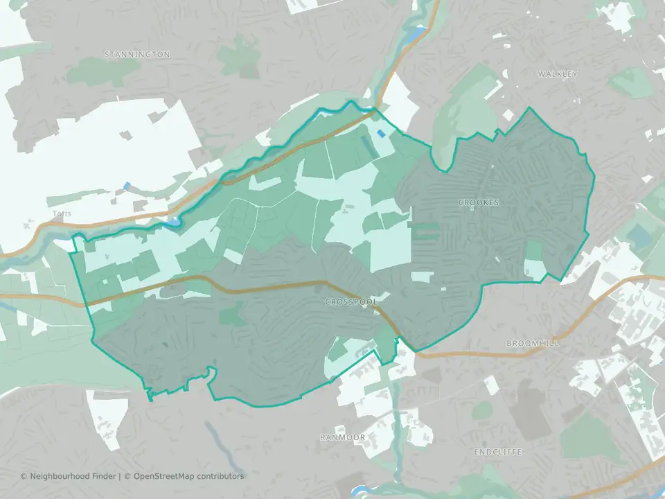
Crookes & Crosspool
Sheffield
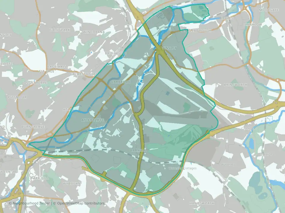
Darnall
Sheffield
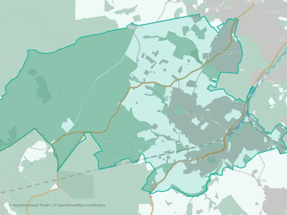
Dore & Totley
Sheffield
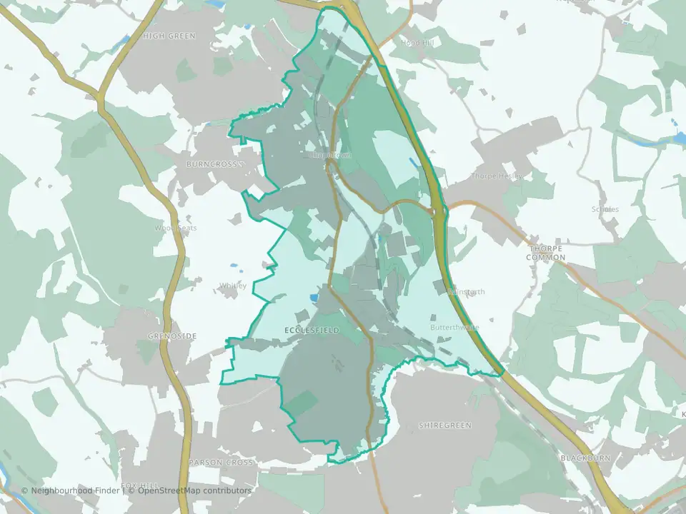
East Ecclesfield
Sheffield
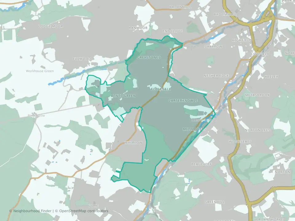
Ecclesall
Sheffield
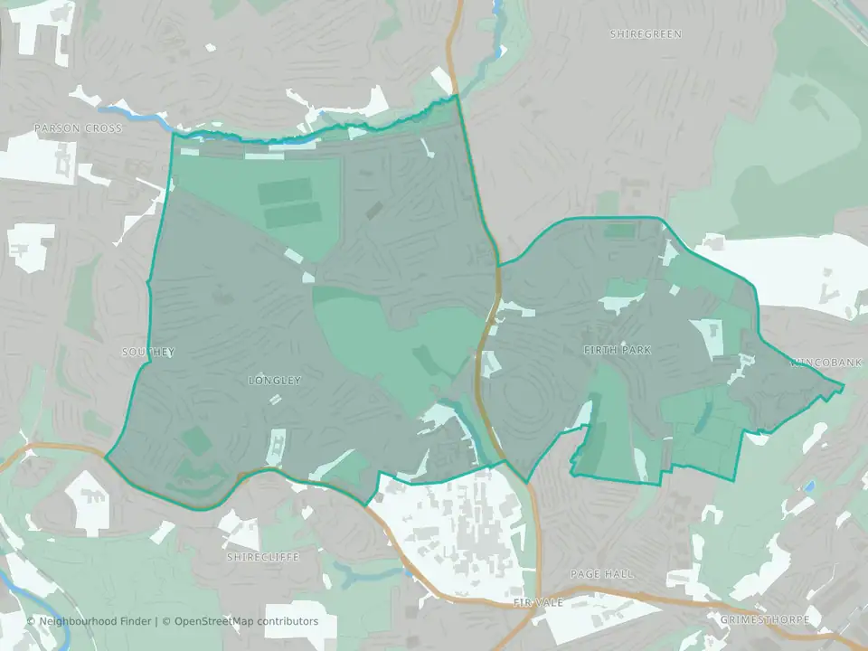
Firth Park
Sheffield
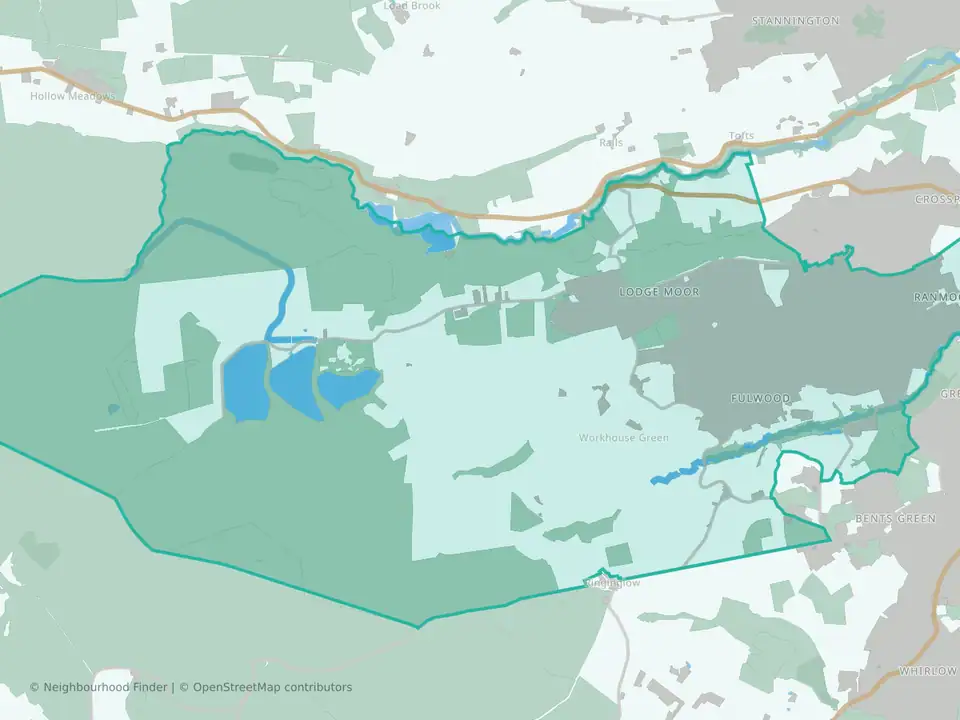
Fulwood
Sheffield
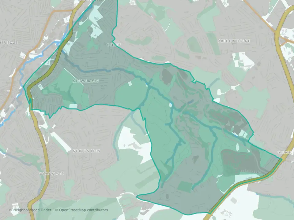
Gleadless Valley
Sheffield
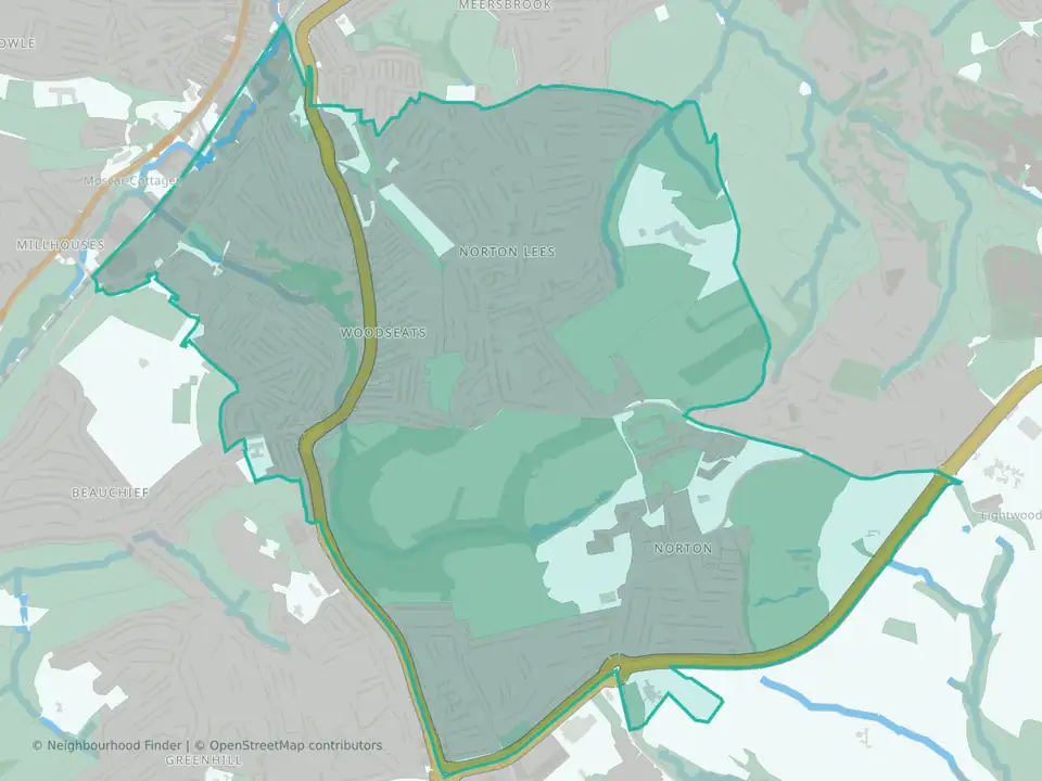
Graves Park
Sheffield
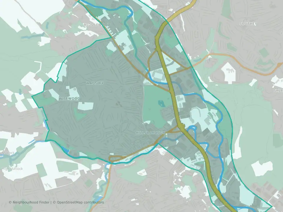
Hillsborough
Sheffield
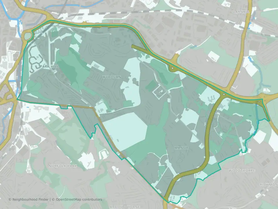
Manor Castle
Sheffield
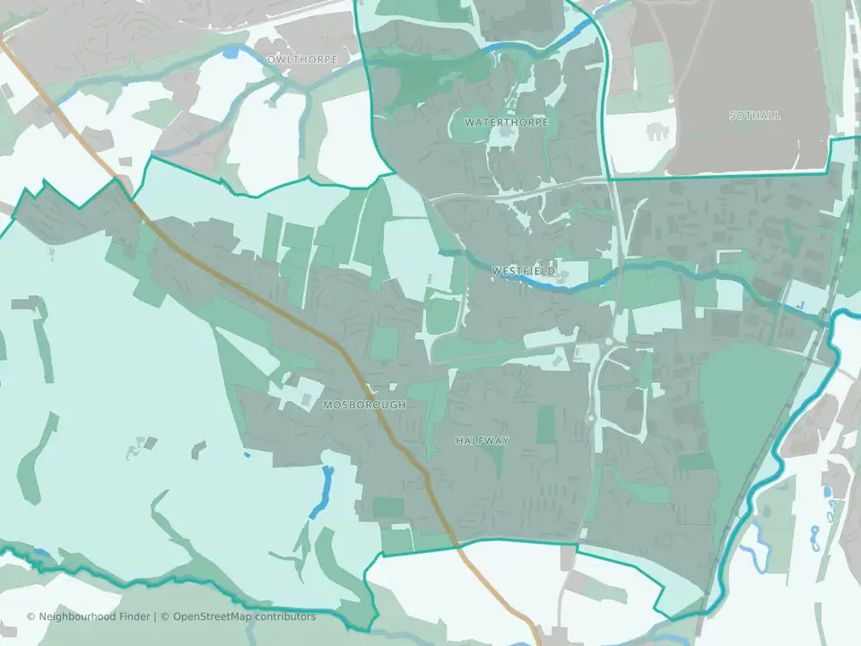
Mosborough
Sheffield
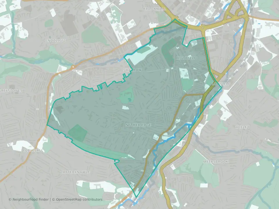
Nether Edge & Sharrow
Sheffield
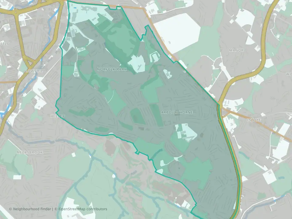
Park & Arbourthorne
Sheffield
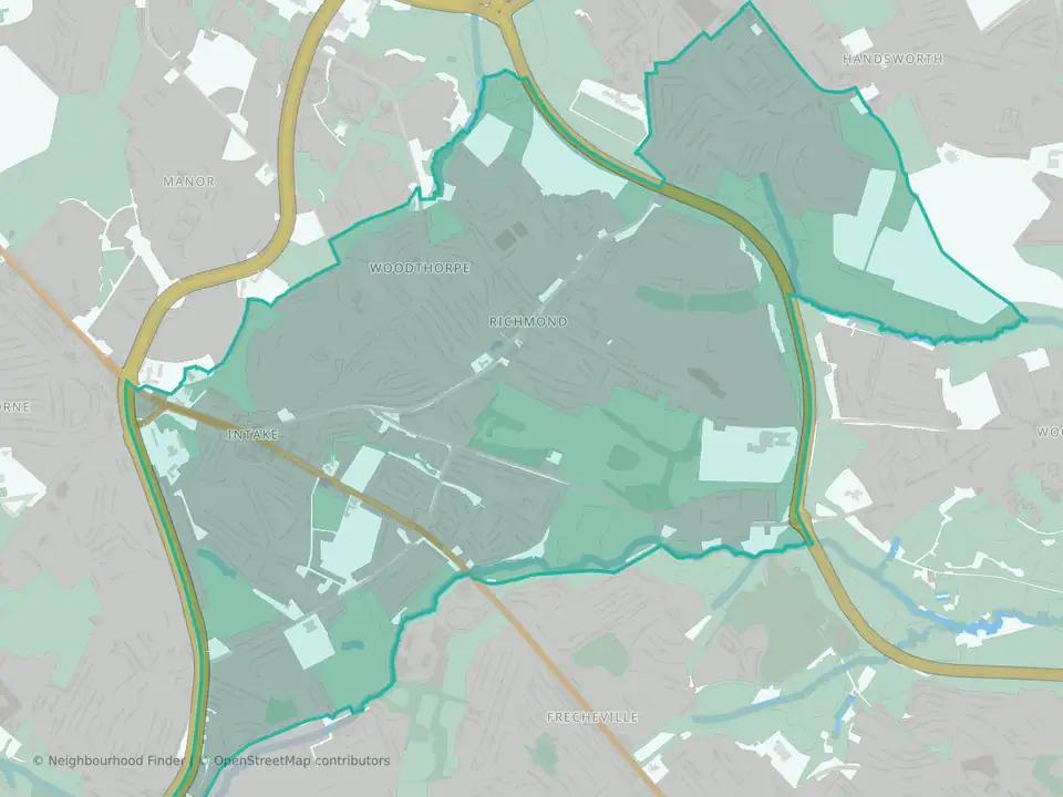
Richmond
Sheffield
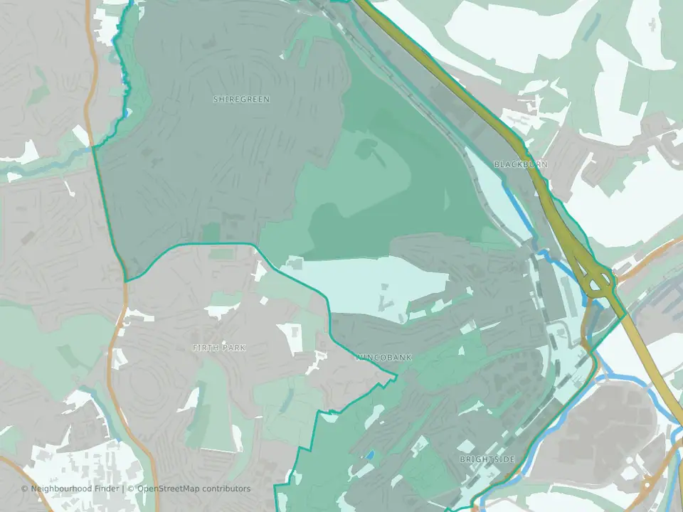
Shiregreen & Brightside
Sheffield
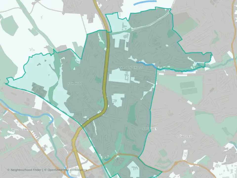
Southey
Sheffield
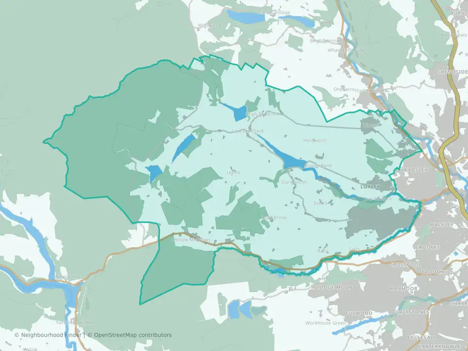
Stannington North
Sheffield
Stannington North East
Sheffield
Stannington South West
Sheffield
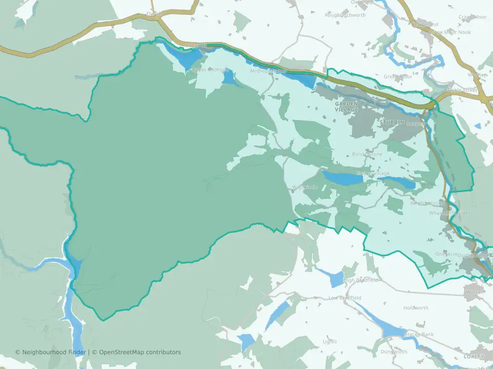
Stocksbridge & Upper Don
Sheffield
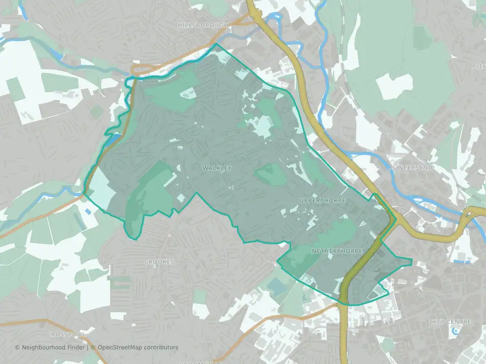
Walkley
Sheffield
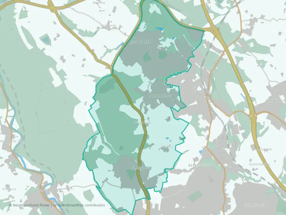
West Ecclesfield North
Sheffield
West Ecclesfield South
Sheffield
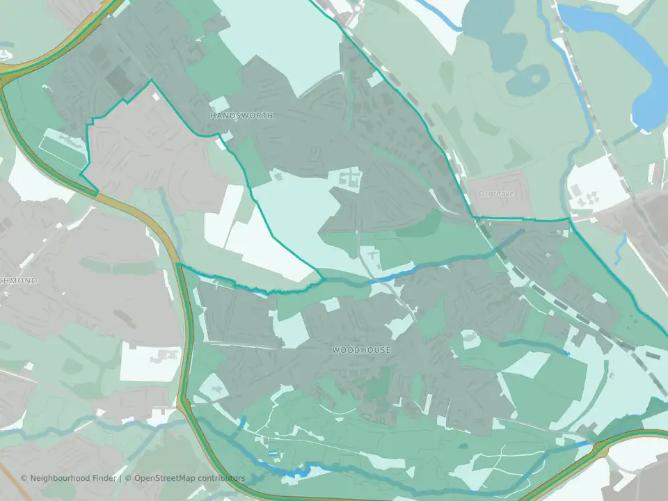
Woodhouse
Sheffield
Prices are medians of standard HM Land Registry sales and crime is police.uk recorded crime and anti-social behaviour per 1,000 residents (2021 Census), both for the 12 months to August 2026. Schools are state schools in the Ofsted register; stations and tram stops are from NaPTAN. Updated 4 November 2026.