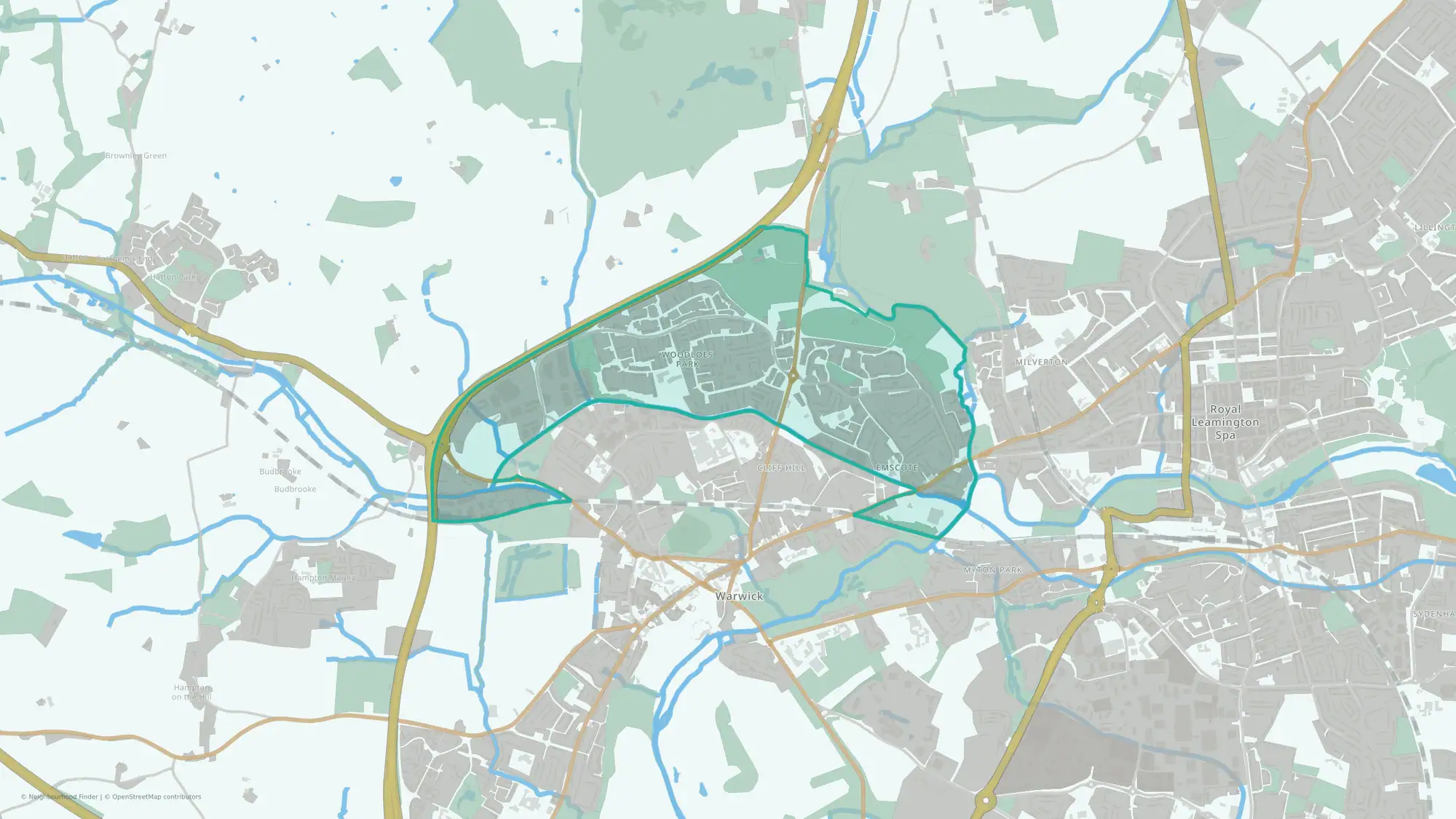
Warwick All Saints & Woodloes
Warwick All Saints & Woodloes neighbourhood data at a glance
Warwick All Saints & Woodloes at a glance
- House prices
- £328,000
- Middle59th percentile
- Schools
- 50th percentile
- Middle
- Transport
- 72nd percentile
- Middle
- Crime rate
- 76 per 1,000 residents
- Middle41st percentile
- Flood risk
- 17% of the area in flood zones
- More flood-zone land81st percentile
Underlying data dates vary by measure.
How to read these figuresIs Warwick All Saints & Woodloes a good place to live?
Warwick All Saints & Woodloes has a mixed public data profile, so whether it is a good fit depends on which factors matter most to you. More of the area is in a flood zone than most neighbourhoods in England, so those factors are worth checking against your priorities.
You can also compare nearby neighbourhoods in Warwick below.
Best fit and trade-offs
May suit
The public data shows a mixed profile, so the right fit depends on your priorities.
No additional grounded may-suit bullets are available.
Watch out for
- More of the area is in river or sea flood zones than most neighbourhoods in England; check the flood map for the specific property
Crime rate in Warwick All Saints & Woodloes
Crime rate
- Crime rate
- 76 per 1,000 residents
- Percentile
- 41st percentile nationally
Crime levels are around the national middle range.
Recorded crimes and anti-social behaviour per 1,000 residents over the 12 months to June 2026. Higher crime percentiles indicate lower recorded crime. Busy centres can show high rates because crimes are counted where they happen but divided by the people who live there.
House prices in Warwick All Saints & Woodloes
House prices
- Median sale price
- £328,000
- Percentile
- 59th percentile nationally
House prices are around the national middle range.
Median of 91 standard sales over the 12 months to June 2026, from HM Land Registry. Lower price percentiles indicate lower prices nationally. This is an area figure, not a valuation of a particular home.
Schools in Warwick All Saints & Woodloes
Schools
50th percentile nationally
Higher percentiles indicate stronger schools indicators nationally.
Flood risk in Warwick All Saints & Woodloes
Flood risk
17% of the area in flood zones 2 or 3
Land in Environment Agency river and sea flood zones 2 or 3. Zone 3, the higher-probability zone, covers 11.1% of the area. That is the 81st percentile among neighbourhoods in England, where higher means more flood-zone land. Surface water is not included, and this is not an address-level assessment: check the flood map for the specific property.
Transport in Warwick All Saints & Woodloes
Transport
72nd percentile nationally
Higher percentiles indicate stronger transport indicators nationally.
What the full report adds
This public guide covers headline signals for crime, house prices, schools, flood risk and transport. The full report adds deeper lifestyle, health, green space, family and local life data, plus tools to compare and shortlist neighbourhoods.
FAQs
Is Warwick All Saints & Woodloes a good place to live?
Warwick All Saints & Woodloes has a mixed public data profile, so whether it is a good fit depends on which factors matter most to you. More of the area is in a flood zone than most neighbourhoods in England, so those factors are worth checking against your priorities.
Is Warwick All Saints & Woodloes safe?
Warwick All Saints & Woodloes ranks in the 41st percentile for crime data; in this dataset, a higher percentile indicates lower crime.
What are house prices like in Warwick All Saints & Woodloes?
The median sale price was £328,000 in the 12 months to June 2026. House prices are in the 59th percentile nationally; lower percentiles indicate lower prices.
How are schools in Warwick All Saints & Woodloes?
Schools rank in the 50th percentile nationally for this public profile.
What neighbourhoods are near Warwick All Saints & Woodloes?
Nearby public profiles include Whitnash in Warwick and Leamington Clarendon in Warwick.