Neighbourhoods in Ashford
Compare the neighbourhoods in Ashford on house prices, crime, schools and transport, then read any area's full report.
Ashford at a glance
- Neighbourhoods
- 39
- Each has its own report.
- Typical area median sale price
- £350,000
- Half of the 39 areas with enough sales are at or below this.
- Price range across areas
- £238,500 to £675,000
- From Stanhope to Downs West.
- Crime per 1,000 residents
- 27.8 to 220.6
- From Park Farm North to Victoria. The middle area records 57.5.
- Crime by type for each area
Compare neighbourhoods in Ashford
Select a column heading to sort. Areas without a figure are listed last. Scroll the table sideways to see every column.
| Aylesford & East Stour | £260,000 | 88.9 | 33rd | 66th |
|---|---|---|---|---|
| Beaver | £280,500 | 84.5 | 60th | 88th |
| Biddenden | £480,000 | 41.3 | 51st | 6th |
| Bircholt | £395,000 | 30.3 | 96th | 8th |
| Bockhanger | £297,750 | 118.7 | 78th | 44th |
| Bybrook | £338,000 | 59.6 | 20th | 67th |
| Charing | £425,000 | 61.4 | 51st | 28th |
| Conningbrook & Little Burton Farm | £390,000 | 44.3 | 20th | 55th |
| Downs North | £485,000 | 42.9 | 51st | 28th |
| Downs West | £675,000 | 40.3 | 100th | 1st |
| Furley | £295,000 | 80.2 | 78th | 61st |
| Goat Lees | £335,000 | 75.3 | 51st | 30th |
| Godinton | £350,000 | 93.7 | 82nd | 73rd |
| Highfield | £340,000 | 50.1 | 72nd | 30th |
| Isle of Oxney | £493,500 | 33.6 | 51st | 6th |
| Kennington | £320,000 | 43.8 | 100th | 35th |
| Kingsnorth Village & Bridgefield | £350,000 | 55.2 | 82nd | 8th |
| Mersham, Sevington South with Finberry | £372,500 | 73 | 82nd | 13th |
| Norman | £260,000 | 187.4 | 20th | 71st |
| Park Farm North | £370,000 | 27.8 | 20th | 40th |
| Park Farm South | £340,000 | 34.2 | 88th | 25th |
| Repton | £344,500 | 57.5 | 51st | 42nd |
| Rolvenden & Tenterden West | £442,500 | 47.8 | 51st | 8th |
| Roman | £345,000 | 53.6 | 20th | 41st |
| Saxon Shore | £432,500 | 31.3 | 20th | 15th |
| Singleton East | £250,000 | 55.2 | 20th | 58th |
| Singleton West | £266,000 | 35.3 | 20th | 36th |
| Stanhope | £238,500 | 94.1 | 73rd | 59th |
| Tenterden North | £390,000 | 63.7 | 96th | 39th |
| Tenterden South | £476,500 | 95.6 | 72nd | 17th |
| Tenterden St. Michael's | £402,500 | 49 | 56th | 3rd |
| Upper Weald | £500,000 | 62.4 | 94th | 8th |
| Victoria | £290,000 | 220.6 | 51st | 90th |
| Washford | £280,000 | 77.2 | 91st | 62nd |
| Weald Central | £380,500 | 59.2 | 94th | 18th |
| Weald North | £497,500 | 41.9 | 82nd | 12th |
| Weald South | £490,025 | 42.5 | 63rd | 22nd |
| Willesborough | £340,000 | 100.6 | 20th | 67th |
| Wye with Hinxhill | £452,500 | 62.9 | 93rd | 43rd |
Median sale prices are for standard HM Land Registry sales in the 12 months to August 2026, shown where an area had at least 10 sales.
Crime is recorded crime and anti-social behaviour in the 12 months to August 2026, per 1,000 residents; busy centres can show high rates because crimes are counted where they happen.
Schools and transport are national percentiles: higher means stronger school results or transport access than more neighbourhoods nationally.
Guides to Ashford
- Priced Out of London? 10 Cheaper Places Worth Comparing
- The Safest-Looking Places Near London, and the Trade-Offs Missed by Families
- Priced Out of St Albans? How to Choose a Fallback Area (2026)
- Affordable commuter towns for families 2026: which ones still work when routine gets hard?
- Family Liveability Index 2026: The Best Places for Families This Year
- Best commuter towns near London under £400k (2026)

Aylesford & East Stour
Ashford
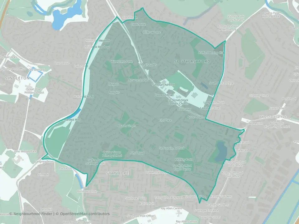
Beaver
Ashford

Biddenden
Ashford

Bircholt
Ashford

Bockhanger
Ashford

Bybrook
Ashford

Charing
Ashford

Conningbrook & Little Burton Farm
Ashford

Downs North
Ashford

Downs West
Ashford

Furley
Ashford
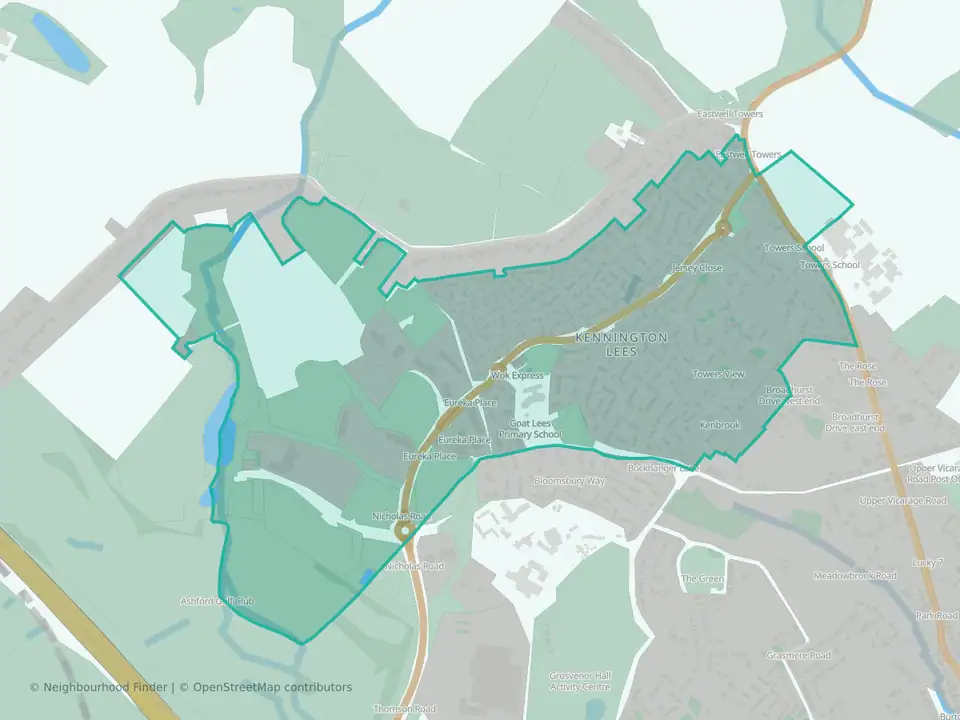
Goat Lees
Ashford

Godinton
Ashford
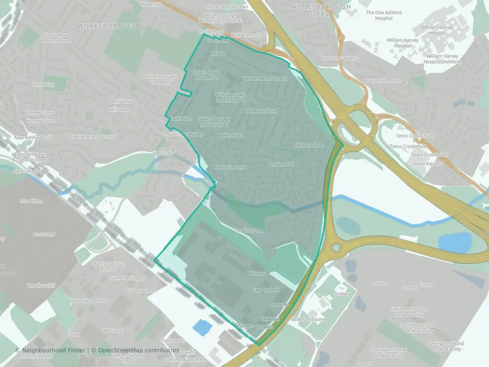
Highfield
Ashford

Isle of Oxney
Ashford

Kennington
Ashford
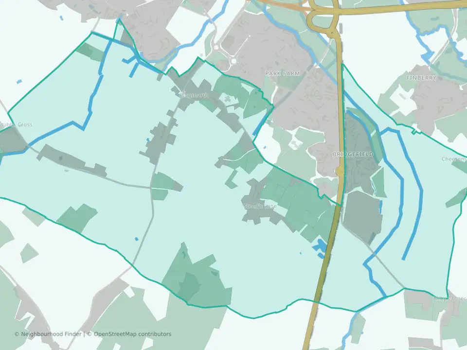
Kingsnorth Village & Bridgefield
Ashford

Mersham, Sevington South with Finberry
Ashford

Norman
Ashford

Park Farm North
Ashford

Park Farm South
Ashford

Repton
Ashford

Rolvenden & Tenterden West
Ashford

Roman
Ashford

Saxon Shore
Ashford

Singleton East
Ashford
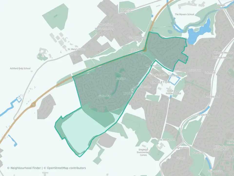
Singleton West
Ashford

Stanhope
Ashford

Tenterden North
Ashford

Tenterden South
Ashford

Tenterden St. Michael's
Ashford

Upper Weald
Ashford
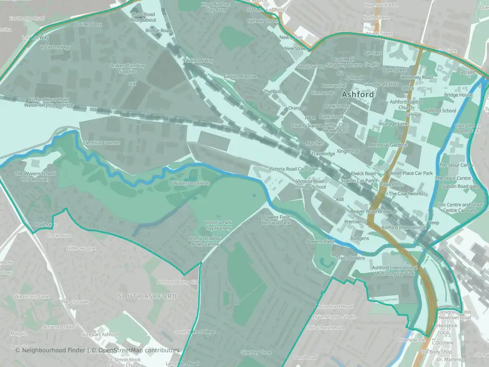
Victoria
Ashford
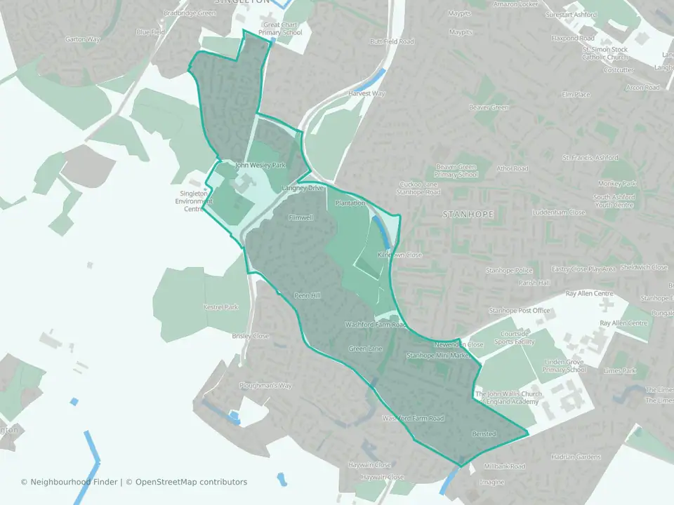
Washford
Ashford

Weald Central
Ashford

Weald North
Ashford
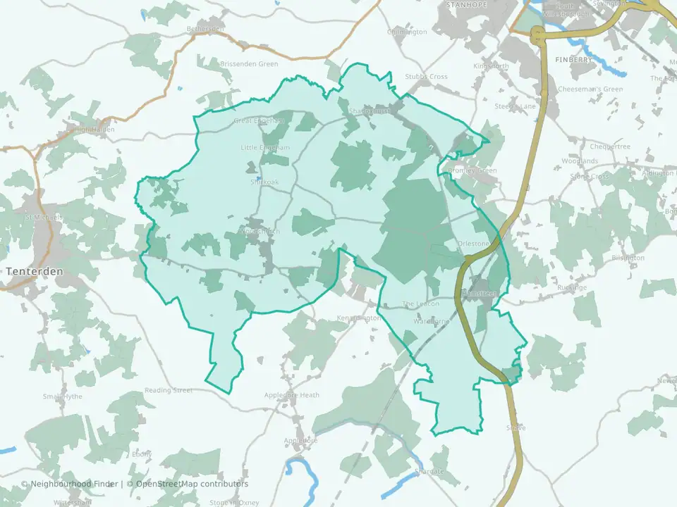
Weald South
Ashford

Willesborough
Ashford
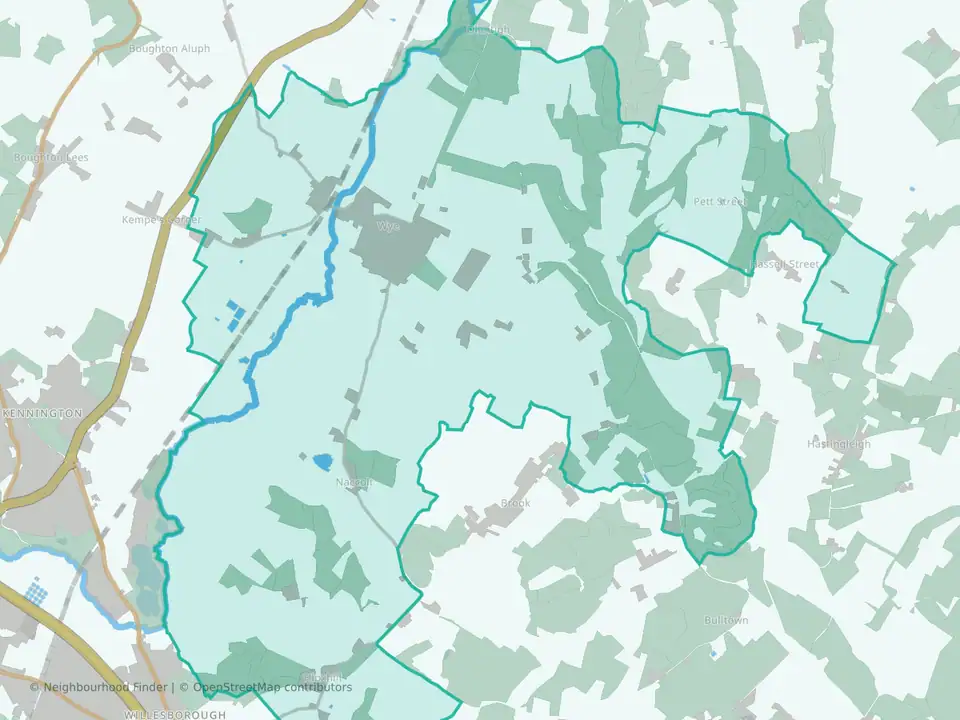
Wye with Hinxhill
Ashford