Neighbourhoods in Waltham Forest
Compare the neighbourhoods in Waltham Forest on house prices, crime, schools and transport, then read any area's full report.
Waltham Forest at a glance
- Neighbourhoods
- 22
- Each has its own report.
- Typical area median sale price
- £548,000
- Half of the 22 areas with enough sales are at or below this.
- Price range across areas
- £490,000 to £695,000
- From Hatch Lane & Highams Park North to Markhouse.
- Crime per 1,000 residents
- 53.9 to 218.3
- From Endlebury to High Street. The middle area records 83.4.
- Crime by type for each area
Compare neighbourhoods in Waltham Forest
Select a column heading to sort. Areas without a figure are listed last. Scroll the table sideways to see every column.
| Cann Hall | £612,750 | 82.9 | 44th | 90th |
|---|---|---|---|---|
| Cathall | £543,000 | 102.5 | 45th | 89th |
| Chapel End | £585,000 | 84.4 | 85th | 73rd |
| Chingford Green | £599,998 | 81.7 | 65th | 82nd |
| Endlebury | £590,000 | 53.9 | 64th | 66th |
| Forest | £660,000 | 89.5 | 57th | 90th |
| Grove Green | £531,000 | 76.5 | 57th | 89th |
| Hale End & Highams Park South | £620,000 | 67.4 | 76th | 81st |
| Hatch Lane & Highams Park North | £490,000 | 58.9 | 77th | 68th |
| High Street | £502,500 | 218.3 | 79th | 100th |
| Higham Hill | £553,000 | 76.2 | 73rd | 69th |
| Hoe Street | £643,500 | 103.2 | 38th | 91st |
| Larkswood | £505,000 | 64.8 | 59th | 66th |
| Lea Bridge | £493,500 | 124.8 | 35th | 86th |
| Leyton | £500,000 | 107.5 | 71st | 76th |
| Leytonstone | £500,000 | 194.3 | 68th | 87th |
| Markhouse | £695,000 | 69.2 | 78th | 83rd |
| St. James | £530,152 | 83.8 | 74th | 82nd |
| Upper Walthamstow | £670,000 | 61.4 | 40th | 81st |
| Valley | £520,000 | 116.7 | 45th | 55th |
| William Morris | £616,500 | 73.6 | 42nd | 79th |
| Wood Street | £502,500 | 94.3 | 87th | 97th |
Median sale prices are for standard HM Land Registry sales in the 12 months to August 2026, shown where an area had at least 10 sales.
Crime is recorded crime and anti-social behaviour in the 12 months to August 2026, per 1,000 residents; busy centres can show high rates because crimes are counted where they happen.
Schools and transport are national percentiles: higher means stronger school results or transport access than more neighbourhoods nationally.
Guides to Waltham Forest

Cann Hall
Waltham Forest
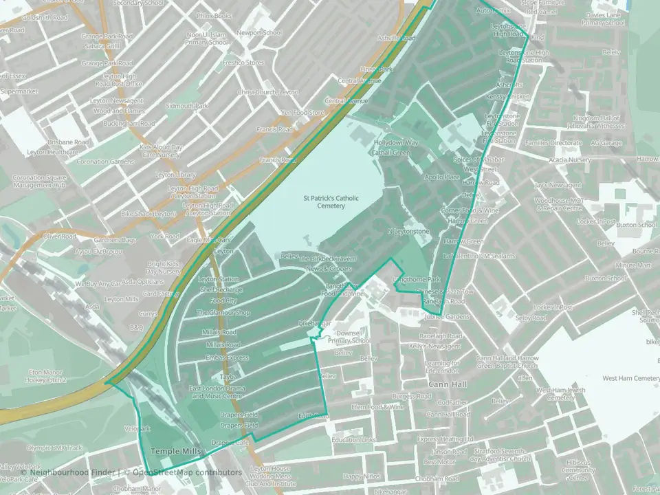
Cathall
Waltham Forest
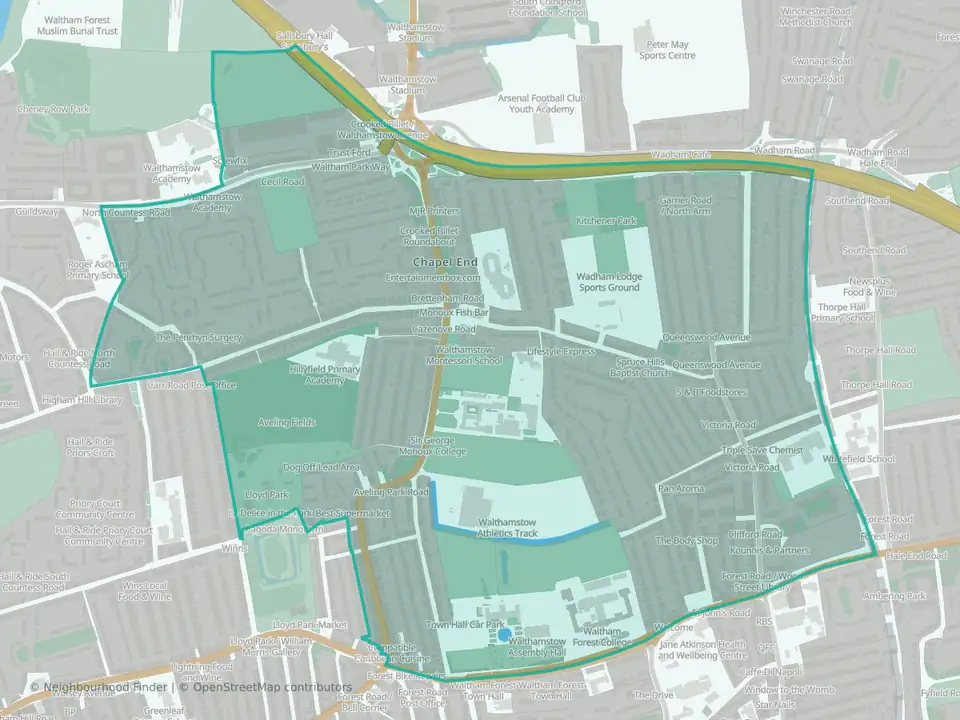
Chapel End
Waltham Forest

Chingford Green
Waltham Forest
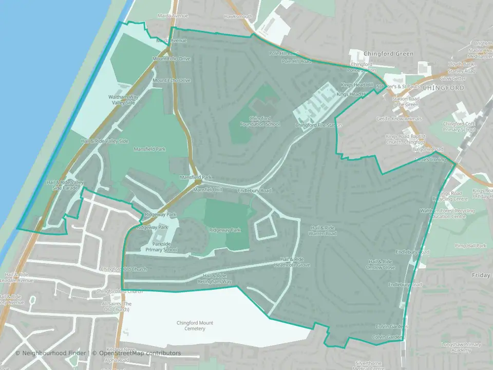
Endlebury
Waltham Forest
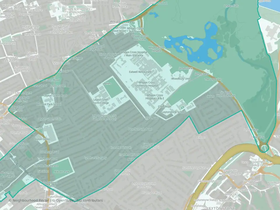
Forest
Waltham Forest

Grove Green
Waltham Forest

Hale End & Highams Park South
Waltham Forest
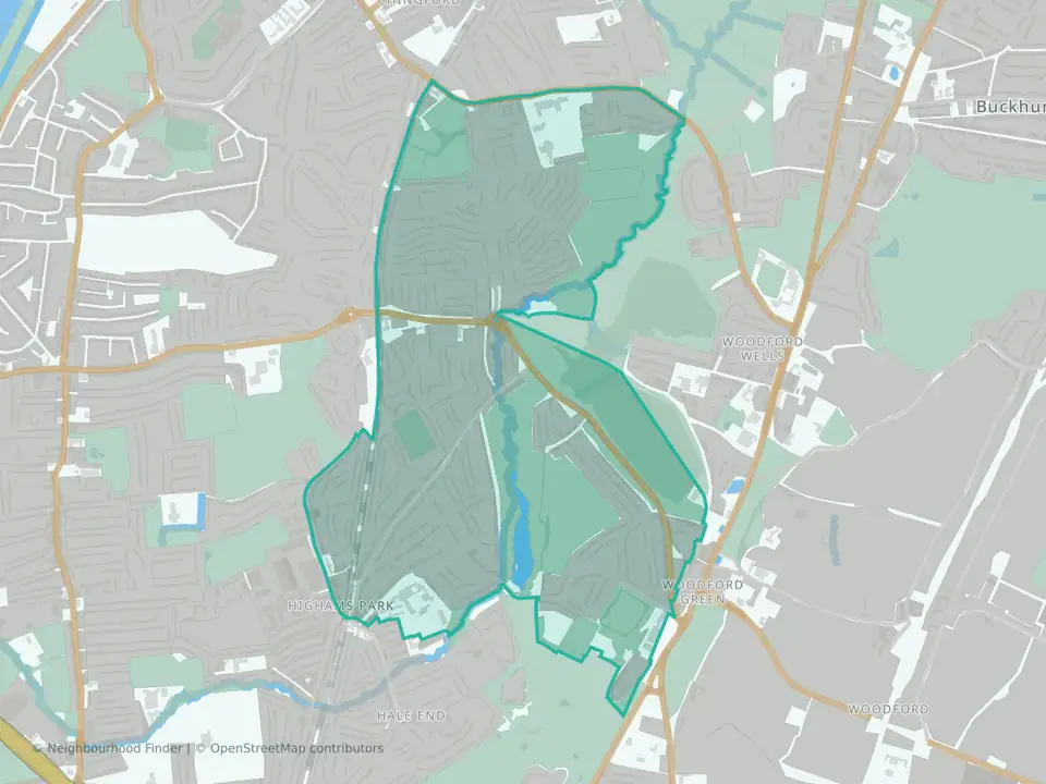
Hatch Lane & Highams Park North
Waltham Forest

High Street
Waltham Forest

Higham Hill
Waltham Forest

Hoe Street
Waltham Forest
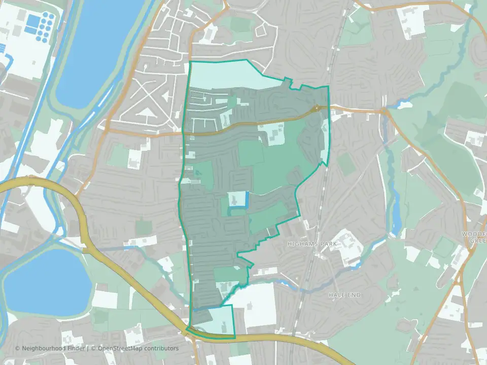
Larkswood
Waltham Forest

Lea Bridge
Waltham Forest

Leyton
Waltham Forest
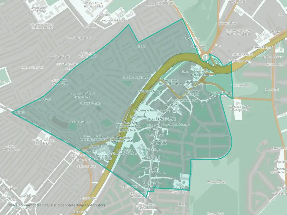
Leytonstone
Waltham Forest

Markhouse
Waltham Forest
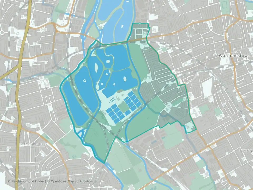
St. James
Waltham Forest

Upper Walthamstow
Waltham Forest
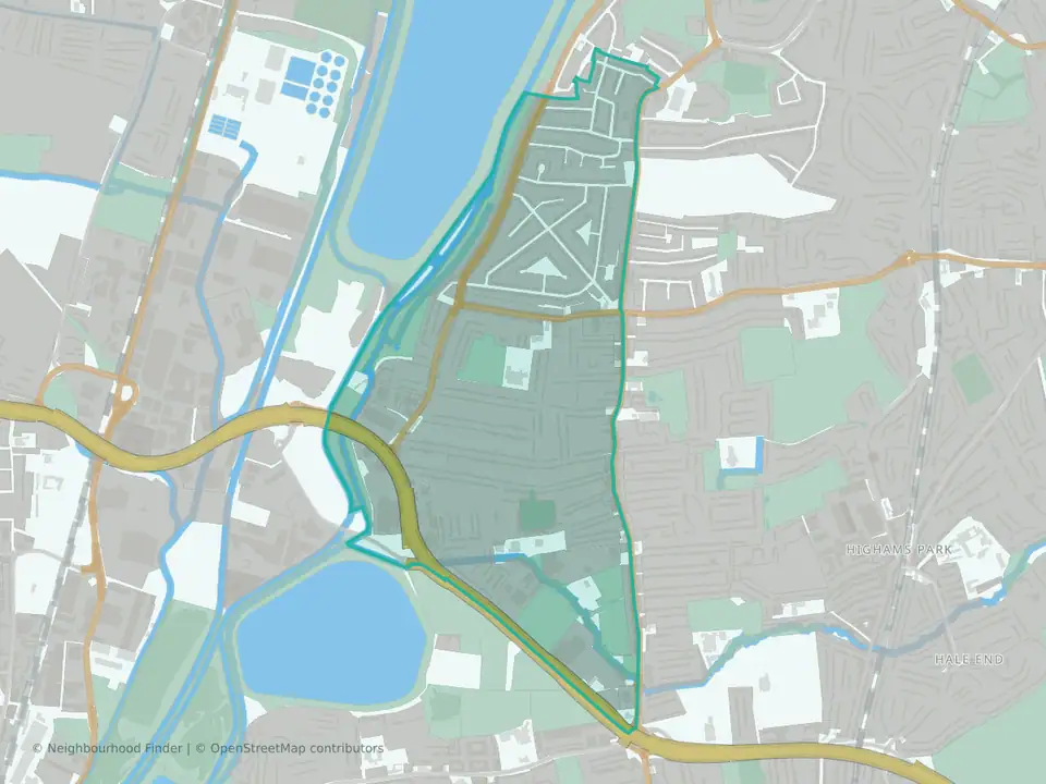
Valley
Waltham Forest

William Morris
Waltham Forest
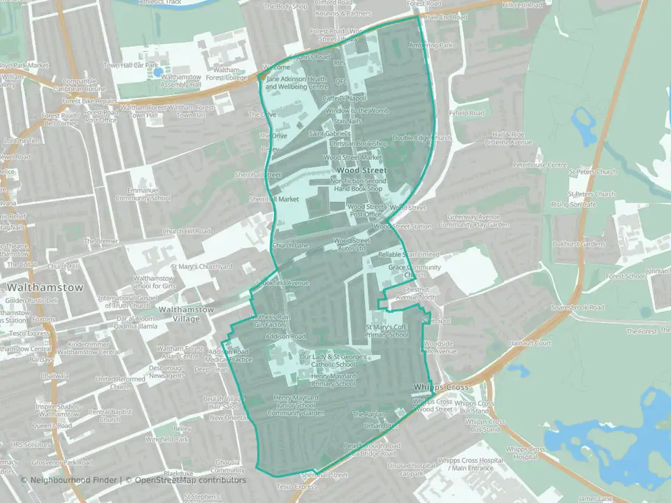
Wood Street
Waltham Forest